This walk is not strenuous. We start out at a height of about 700 metres above sea level and rise a further 100 metres during the walk before descending again to our starting point. The map extract below shows some of the key points along this circular walk and you may just be able to see that the route mainly follows rather than traverses the contour lines meaning it is mostly on the level or on gentle up or downhill slopes.

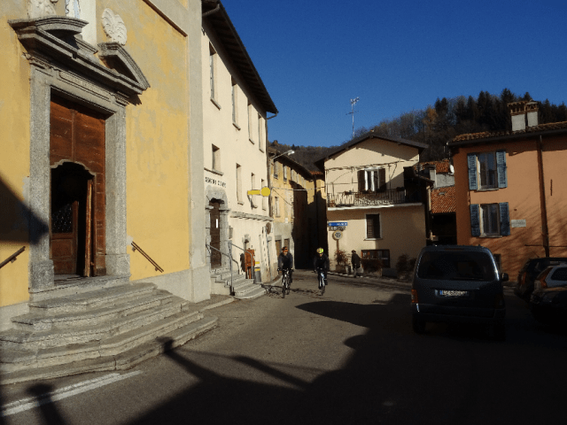
E marks the start and end of our walk at the Civiglio Bus Terminus.
The views from the start are glorious. The walk is on the south-facing sunny side of the mountain following well-defined mule paths. Civiglio is a poor cousin to its better known neighbour, Brunate – it is less dramatically located, and as a result less crowded and more peaceful. You will not come across large numbers of visitors here even though views over to the monumental Monte Rosa are as breathtaking here as from its neighbour.
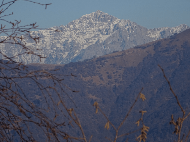
Monte Rosa
Take the No. 5 bus out of Como (tickets available from tobacconists or kiosks) or drive up to Civiglio following the road for Brunate. There is also a small car park where you arrive at the bus terminus with its view over to Monte Rosa!

Point E – Civiglio Bus Terminal. Follow the arrow to start the walk.
Start by heading up the steps on the other side of the road from the bus shelter (see photo above). Follow the path up through the old alleys of the town to turn left when you eventually come out onto the tarmacked road. Now continue uphill on the road until you see the first of the signs for the footpath to Baita CAO and Carla which will lead you up some steps to come out in front of the second row of modern terraced homes. When you reach the end of the terraced row, you will see the mule path heading off gently uphill on your right (Point A on the map).
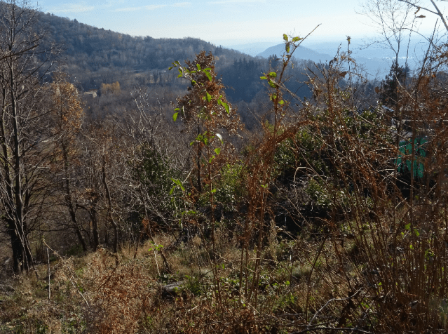
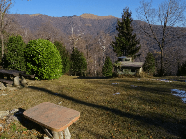
View from Point A on the map at the start of the walk. Views in winter are improved by the absence of leaves!
In time gone by these hillside slopes and their terraces would have been carefully cultivated. The evidence remaining consists of the large number of sweet chestnut trees and the chestnut husks underfoot. Further on we will also see dry stone walls flanking the mule track.
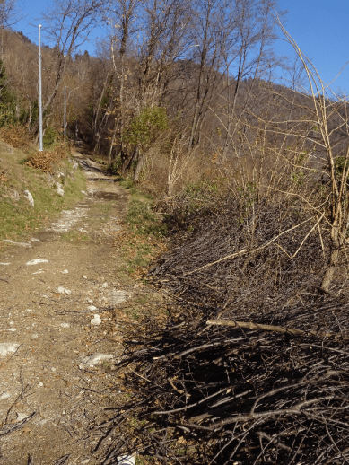
This walk follows well-defined mule tracks like this along its whole length.
After about forty minutes you arrive at the highest point of our walk – around 800 metres. This is Point B on the map. Take the first left if you want to continue uphill towards Baita CAO and Carla. The second turning on the left takes you uphill but further north towards Monte Boletto and the rifugio Baita Boletto Fabrizio. I understand that Baita Carla has recently changed hands so it may be that my previous highly negative review of this rifugio is no longer valid. It may well be worth giving it a second chance. However I can give an unreserved recommendation for Baita Boletto for those of you who go for true mountain food (polenta with everything).
But today we take the main turning (second) on the right signposted Civiglio.
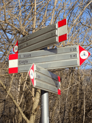
Signpost at Point B on the map. We take the path for S. Nicola and Civiglio.
We now head off on the second part of this walk making our way back to Civiglio which is about 40 minutes away. This part of the walk passes some panoramic spots and then descends down to the Sanctuary of S. Nicola and the stages of the cross leading back into Civiglio itself. We will see all of the small chapels on the Via Crucis.
At Point C on the map we come across a small alp with seating and a glorious view over to the top of Mount Boletto.
Monte Boletto, Point C on the map.


We then descend the ‘Via Al Paradiso’ or the Via Crucis past the Sanctuary of San Nicola (Point D on the map) to Civiglio.


Walk across the main square with Civiglio’s Town Hall back to our starting point and the bus stop to take us back to Como.
The Baita Boletto is open during the winter on Saturday and Sunday lunchtimes. They may well open at other times but only by prior arrangement. It is in any case best to call them on 031-220235 to check on opening times.
Regular visitors and residents may well want to learn more about public transport options in Como. Follow this link to our transport pages to download a great app for IOS and Android for planning journeys on local bus routes.
SUMMARY

Distance: 4.41 km
Time: 1.23 hours
Climb: 160 metres
Descent: 200 metres
Difficulty: Easy hike – suitable for all

